843-999-2661
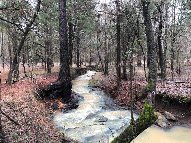
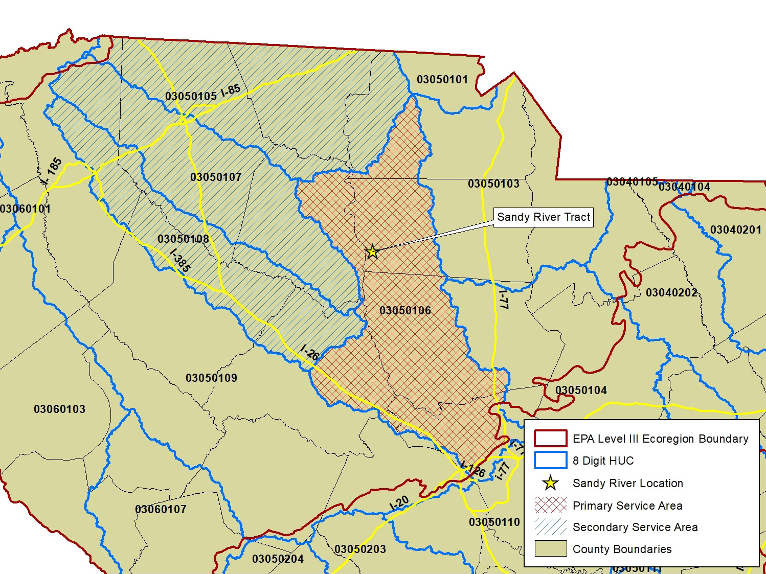
Sandy River Mitigation Bank is an approximately 589-acre mitigation bank that is located on a 1,934-acre tract in Chester County, SC. The Bank is in the Lower Broad River watershed, 8-digit Hydrologic Unit Code 03050106. The Bank is located within the Piedmont Level III Ecoregion.
Overall, the Bank will protect approximately 49,458 linear feet and approximately 35 acres of jurisdictional aquatic resources (streams and wetlands). The Bank will also protect approximately 554 acres of non-jurisdictional lands (uplands) that contribute to the ecological functioning of jurisdictional aquatic resources within the Bank. An average 300-foot upland buffer will be placed around all wetland resources.
| Primary Service Area | 8-digit HUC # |
|---|---|
| Lower Broad River | 03050106 |
| Secondary Service Area | 8-digit HUC # |
| Tyger | 03050107 |
| Upper Broad River | 03050105 |
| Enoree River | 03050108 |