843-999-2661
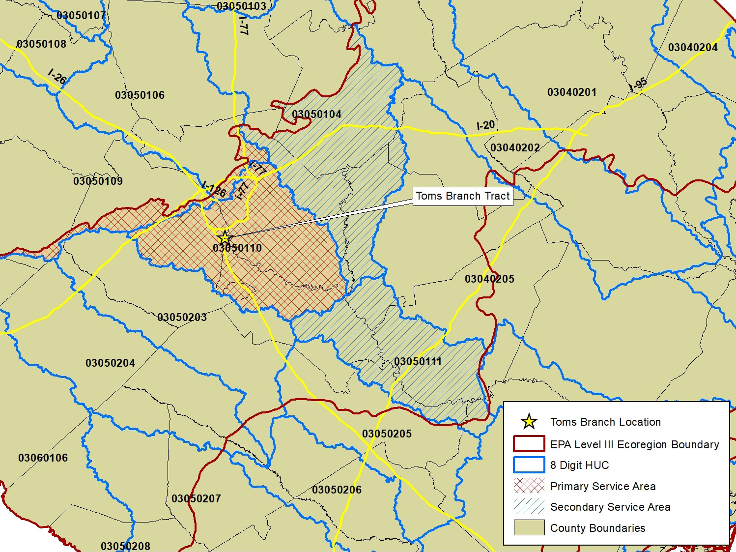
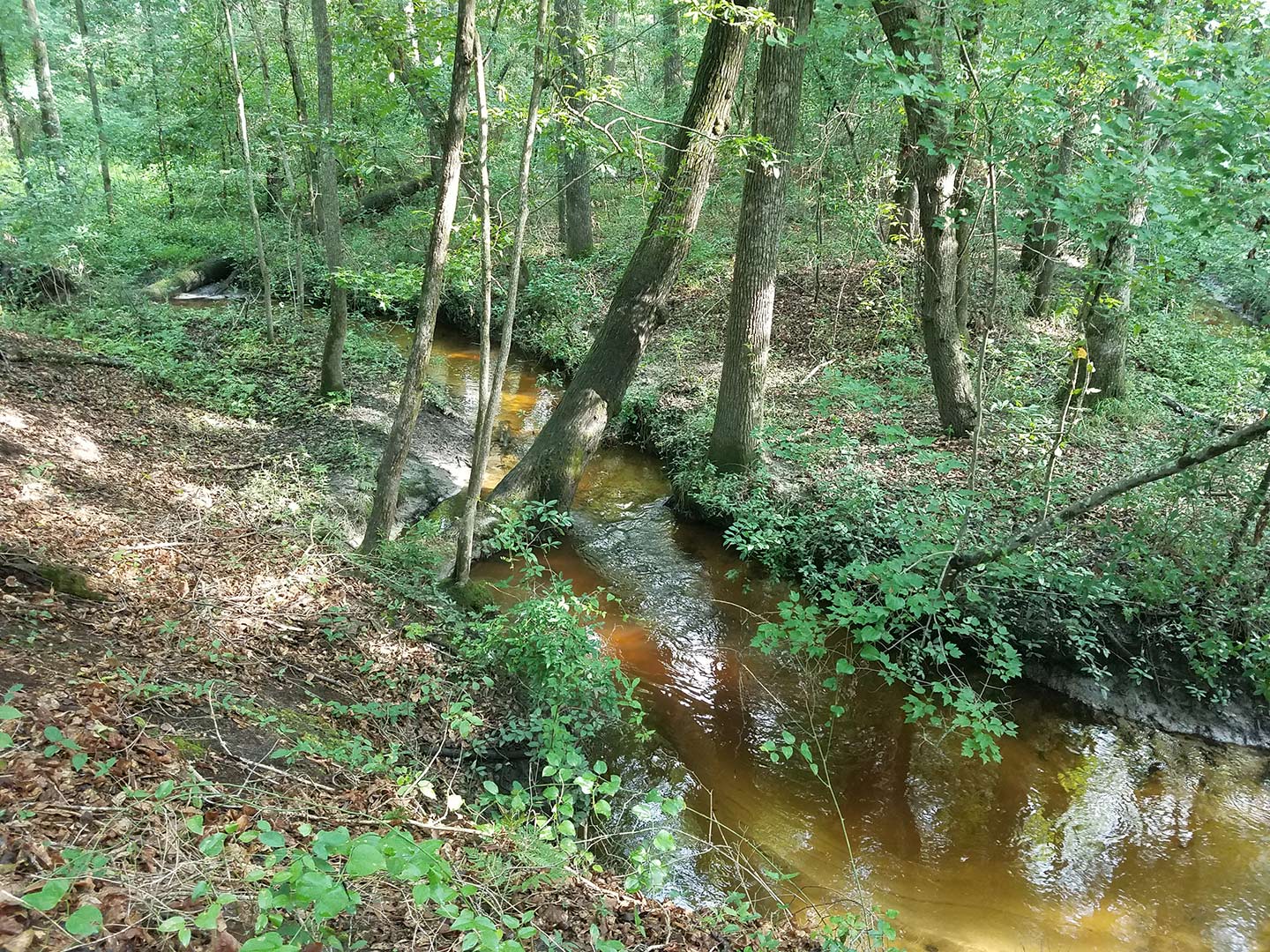
Toms Branch Mitigation Bank is a 533-acre mitigation bank that is located on a 753-acre tract adjacent to the Congaree River in Lexington County, SC. The Bank is in the Congaree watershed, 8-digit Hydrologic Unit Code 03050110. Toms Branch traverses the Bank and discharges into the Congaree River in the southern portion of the Bank. The Bank is located within the Southeastern Plains Level III Ecoregion.
Overall, the Bank will protect approximately 25,547 linear feet and approximately 479.53 acres of jurisdictional aquatic resources (streams and wetlands). The Bank will also protect approximately 53.47 acres of non-jurisdictional lands (uplands) occurring within the watersheds of the Toms Branch, Dry Creek, and Congaree Creek that contribute to the ecological functioning of jurisdictional aquatic resources within the Bank. An average 150-foot upland buffer will be placed around all wetland resources.
| Primary Service Area | 8-digit HUC # |
|---|---|
| Lower Broad | 03050106 |
| Congaree River | 03050110 |
| Saluda River | 03050109 |
| Secondary Service Area | 8-digit HUC # |
| Lake Marion | 03050111 |
| Wateree River | 03050104 |